Food systems
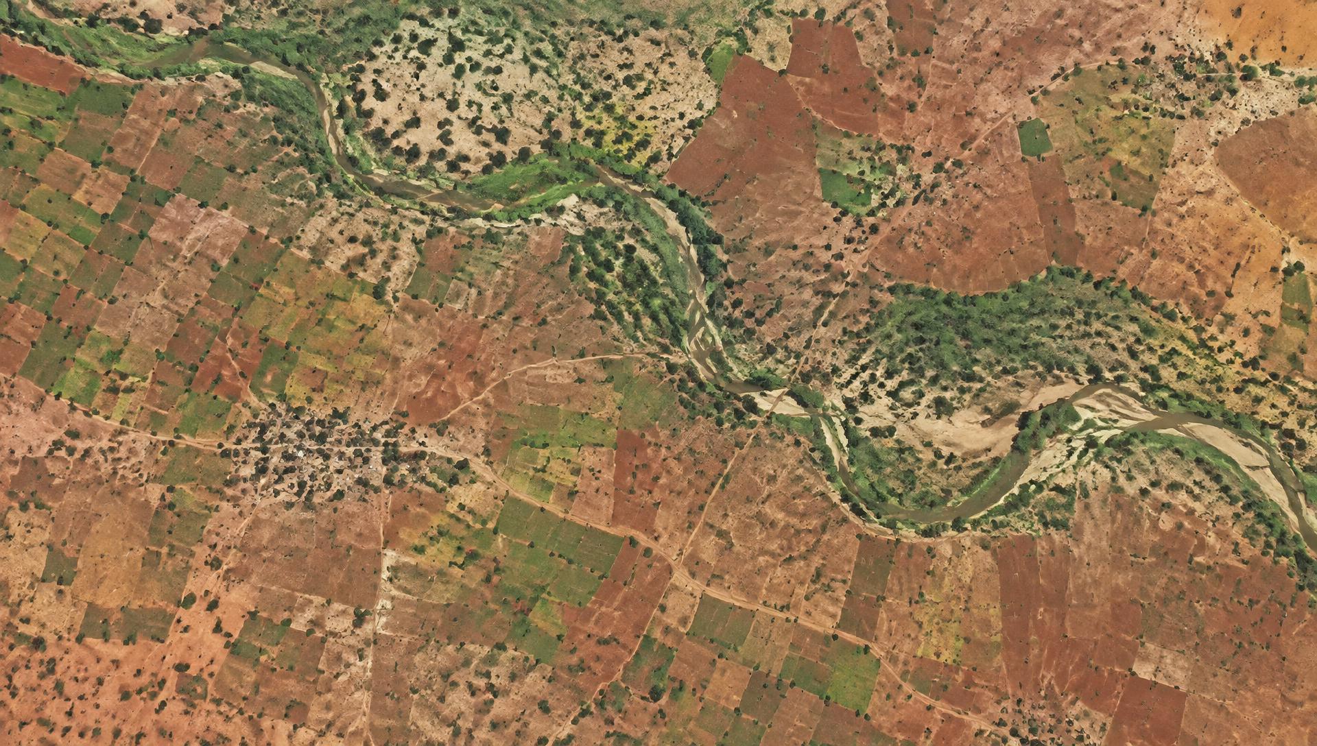
Reading the growing season from above
Editorial themes we will develop as the Soberana journal grows.
Open data · Local decisions
We turn satellite, drone, and sensor data into maps, evidence, and decision tools for agriculture, food security, and environmental monitoring.
See what we doOur position
We work from open data and practical needs—not extractive systems. Our aim is to strengthen the people and institutions already stewarding land, food, and livelihoods.
Read our missionSoberana journal
Food systems
Editorial themes we will develop as the Soberana journal grows.
Open methods
Editorial themes we will develop as the Soberana journal grows.
Field notes
Editorial themes we will develop as the Soberana journal grows.